Hi Class,
You final grade will be determined in three equal parts:
- Final Mapping Project
- Hardware participation (Jesse outlined the criteria in class yesterday)
- Overall participation
And here are the instructions for your map project:
1) Set up an account at ArcGIS.com. I posted a how-to link in the first post, but here’s another resource with videos as well https://esri.app.box.com/mappingwithago .
2) Decide what area you would like to map, and choose a theme (like population, environment, trails, glaciers, wildlife, etc)
3) Search for data within arcgis.com and add it to your map, or ask me for help to find an outside data resource. There’s a great list of free data in the first class resources post.
4) Make it look readable and useful with the right basemap and zoom level.
5) Write one page about why you choose this theme and explain your data sources. This will make up your blog post on the class site.
6) Final Presentation, 5 min at the last class.
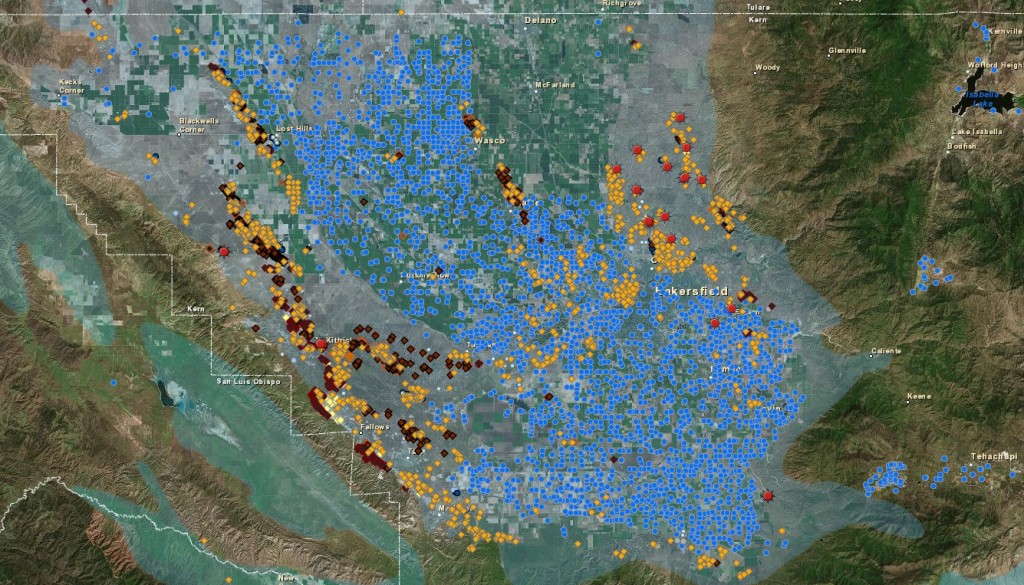
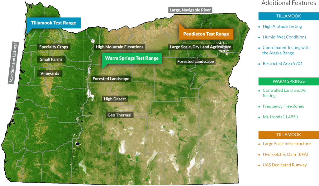
For the next class on May 18th, please send me a screenshot of a map you made from ArcGIS.com before class and decide on your final topic. We will do more hardware and I’ll be there to help you get your final project started.
Click “message” in the sidebar if you have any questions!
-Tierney


